
| glossary | menu | Normal | lg | hc | 1.) Fluvial Geomorphology Training Module > Aerial Photographs |
| < Previous | 1 | 2 | 3 | 4 | 5 | 6 | 7 | 8 | 9 | 10 | 11 | 12 | 13 | 14 | 15 | 16 | 17 | 18 | 19 | 20 | 21 | 22 | 23 | 24 | 25 | 26 | 27 | Next > |
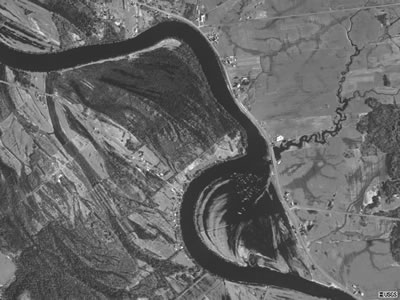
Aerial Photographs
Aerial photos of the river and Floodplain system are one image type used in this FGM Module.
 Ground based, or terrestrial, photos along with aerial photos in high and low oblique angles can be used during fluvial geomorphologic measurement and classification.
| < Previous | 1 | 2 | 3 | 4 | 5 | 6 | 7 | 8 | 9 | 10 | 11 | 12 | 13 | 14 | 15 | 16 | 17 | 18 | 19 | 20 | 21 | 22 | 23 | 24 | 25 | 26 | 27 | Next > |