
| glossary | menu | Normal | lg | hc | 9.) Fluvial Geomorphological Applications in River Forecasting > Resurfacing Rivers of Karst |
| < Previous | 1 | 2 | 3 | 4 | 5 | 6 | 7 | 8 | 9 | 10 | 11 | 12 | 13 | 14 | 15 | Next > |
Resurfacing Rivers of Karst
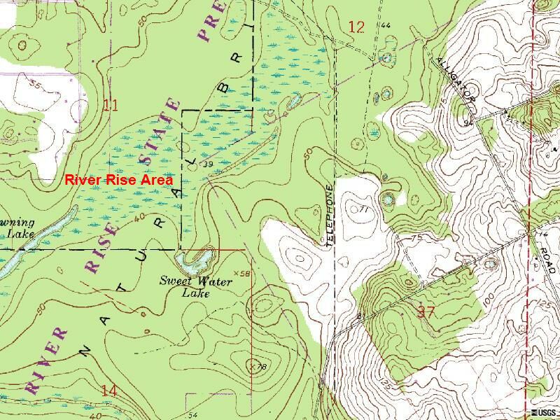
Pressure forces push the Santa Fe River back to the surface at the location River Rise, shown in red text in this image, where it continues as part of the Suwannee River. The entire area is denoted as wetland marsh in this map.
As with Rosgen Level III analysis, here is an opportunity to further study and monitor the particulars of this flow regime to appreciate Suwannee River flood risk. Ongoing dissolution of the subsurface calcium carbonate material may open additional subterranean losses, making it difficult to keep a constant estimate of discharges at a given recurrence interval downstream of River Rise.
Image courtesy of USGS
| < Previous | 1 | 2 | 3 | 4 | 5 | 6 | 7 | 8 | 9 | 10 | 11 | 12 | 13 | 14 | 15 | Next > |